Investigating East Antarctic Ice Sheet stability in the ICECAP project
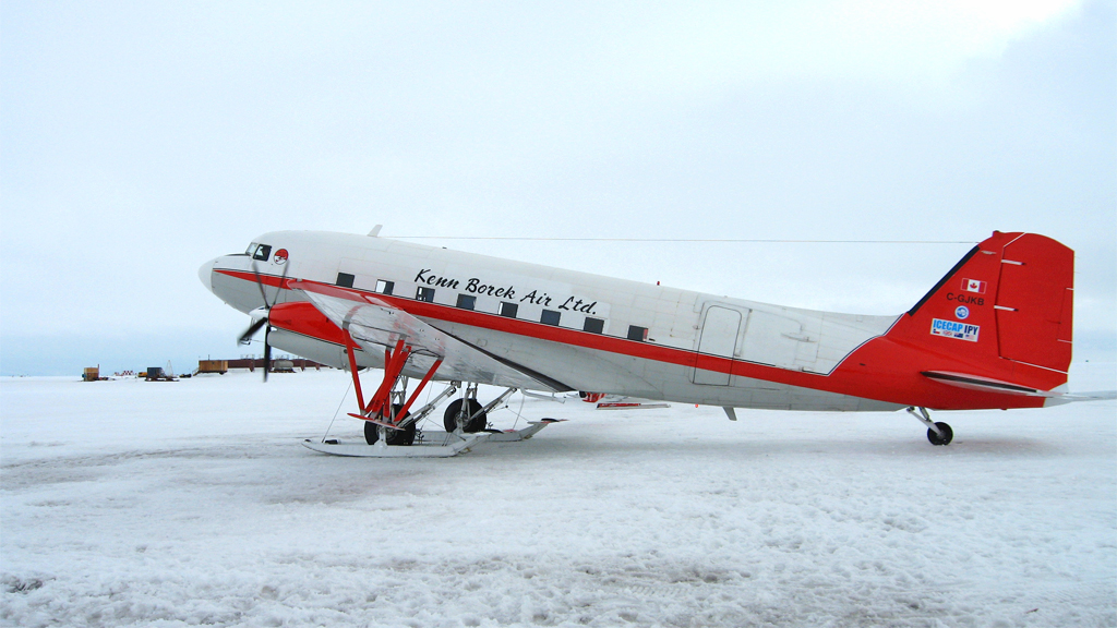
Basler aircraft used in the airborne campaign of the ICECAP project
© Martin Siegert
Scientists have been investigating how the ice sheets covering Greenland and Antarctica behave and change over time, and for good reason. If the ice sheets undergo significant melt, they will contribute to a rise in sea levels, which will in turn have a significant impact on low-lying coastal areas around the globe.
Understanding all parameters that influence how ice sheets gain and lose mass, at what rate this happens, and how they have changed in the past is essential for making models that predict how ice sheets will behave in the future. These models can help policymakers plan for future changes.
So far, the bulk of scientific research has been focused on the Greenland Ice Sheet and the West Antarctic Ice Sheet, as these have been losing ice at an increasing rate over the last 15 years or so. The East Antarctic Ice Sheet – which has been losing ice at a much lower rate over the same time period – has not received as much attention from the scientific community.
However an international group of researchers from the US, the UK, France and Australia have been focusing research efforts on the dynamics and evolution of the East Antarctic Ice Sheet under the ICECAP (Investigating the Cryospheric Evolution of the Central Antarctic Plate) project, as it has been under-studied in the view of many scientists. Professor Martin Siegert discusses some interesting findings of ICECAP in his latest interview with SciencePoles.
Could you put the ICECAP project into context for us?
ICECAP is a major collaborative research programme between American, British, French and Australian researchers. The goal of the project is to understand the history and evolution of the ice sheet covering Antarctica.
Researchers have spent a lot of attention on West Antarctica (I've been involved in a lot of West Antarctic geophysical research myself), but ICECAP is concerned primarily with East Antarctica.
Going back about 10 years, the scientific community didn't understand the subglacial environment in Antarctica very well, and how the ice sheet flows in certain key areas of East Antarctica. We didn't have important data on, for instance, the subglacial topography in this region. There have been a lot of data collected on West Antarctica because it's been changing very rapidly in the past ten years.
However very little data have been collected on the much larger East Antarctic Ice Sheet, and the reason for this is because it's not often regarded as an ice sheet that's changing and vulnerable to rapid ice loss like the West Antarctic Ice Sheet has been experiencing in recent years. Many consider the East Antarctic Ice Sheet to be relatively stable and not contributing too much meltwater to sea level rise.
But the fact remains – from the reconnaissance missions we've done – that the East Antarctic Ice Sheet has enough ice to raise global sea levels by 50 metres if it were to all melt. It's the largest ice sheet on our planet by an order of magnitude. So you don't need it to melt very much in order for it to cause a significant rise in sea levels.
To put that into perspective, if the entire West Antarctic Ice Sheet were to melt, sea levels would rise on average by only 3.5 metres. By comparison, if you lose just one tenth of the ice from the East Antarctic Ice Sheet, you get about 5 metres of sea level rise. So it's very important that we scientists don't ignore the East Antarctic Ice Sheet. It's the elephant in the room, but the scientific community hasn't been spending as much time on it as they have on other places.
So this is why the ICECAP project came together during the International Polar Year (IPY) 2007-2008, and why the project focuses on the East Antarctic Ice Sheet.
The East Antarctic Ice Sheet has been thought to be relatively stable compared to the West Antarctic Ice Sheet in part because, being such a large ice sheet, it would require a significant amount of thermal inertia to start melting it significantly.
The scientific community might think that the East Antarctic Ice Sheet isn't vulnerable, but do we really know that for sure?
If you look at the satellite records, there's evidence that the East Antarctic Ice Sheet does change in some places. It's not changing as quickly as the West Antarctic Ice Sheet, but like I said, only one tenth of its ice has to melt for it to have a greater effect on sea levels than the melting of the entire West Antarctic Ice Sheet. So we know that the East Antarctic Ice Sheet is changing, and we need to find out more as to why.
The thing that makes the West Antarctic Ice Sheet so interesting, but makes it so vulnerable to melting, is that it rests on bedrock that sits well below sea level – about one or two kilometres below sea level, in fact.
In East Antarctica, it has been assumed that the ice sheet is resting on land above sea level. This is not true everywhere it turns out. There are several places where the bedrock of East Antarctica is much like West Antarctica – well below sea level, and these are the areas of East Antarctica that the ICECAP project is targeting.
What we want to understand is how the ice is behaving and how stable the ice is in these regions, and whether we can learn anything about its history. If we're able to determine how the East Antarctic Ice Sheet has changed in the past, we might be able to determine how it might change in the future.
How do you go about taking measurements of the ice sheet in East Antarctica?
We equipped a Basler aircraft, which is a mid-range aircraft, and we flew from the edge of the ice sheet from several different research stations like McMurdo (US), Dumont d'Urville (France), and Casey (Australia) to the middle of the ice sheet and back again, taking radar images of the ice and bedrock below.
We were able to get a lot of geophysical data over a large area of the East Antarctic Ice Sheet without having to deploy large fuel caches to the middle of the ice sheet. With shorter-range aircraft you need this to refuel your plane for the trip back to the coast. In the past I've worked on another project looking at the Institute and Möller Ice Streams in West Antarctica. Because we were using a Twin Otter, a short-range aircraft, we had to depot about 100 barrels of fuel in the middle of the ice sheet. In the ICECAP project, using a mid-range aircraft like a Basler, you don't have to do that, thankfully.
You mentioned that you were interested in determining how the East Antarctic Ice Sheet might have changed in the past. What kind of data were you able to collect to help you learn about the ice sheet's history?
We were able to get an idea of the bedrock topography underneath the ice, in very high resolution – something that the scientific community had never done before. We used some reconnaissance data collected in the 1970s to determine where the interesting parts of the ice sheet to investigate might be – where the bedrock is below sea level.
Because they weren't very high resolution, the reconnaissance data weren't able to tell us much more than certain parts of the bedrock are below sea level. But we needed more precise data to plug into models trying to describe how the ice sheet is moving.
If you're running an ice sheet model, and if you want it to match up to what's happening in reality, you need to know the topography of the bedrock over which the ice is growing and shrinking. But if the topography on which the ice flows isn’t known well enough, then you're not able to model it correctly. So there was an urgent need to get the data collection right.
The data we collected on our flights over the ice sheet was much higher resolution than the data collected in the 1970s. This gave us an unprecedented view of certain features of the bedrock.
What kind of features have you been able to discover underneath the ice sheet and what do they tell you?
One of the things we found were these very steep and narrow fjords underneath the ice in a part of East Antarctica. We found them several hundred kilometres inland from the current edge of the ice sheet – a place where you'd never expect fjords to be forming, if the ice sheet had always been stable, that is.
Fjords form in places where the ice flows very quickly. So if you find a fjord well inland from the coast, in a part of the ice sheet that's flowing quite slowly at the moment, then you can conclude that the fjord is a relic from a time when the East Antarctic Ice Sheet was more dynamic and can flow quickly in this particular region.
We found these fjords in a part of East Antarctica where the bedrock rests well below sea level. This led us to conclude that the East Antarctic Ice Sheet has a sensitivity in this region. The presence of these fjords tells us that at some point in the past, when the fjords were actively being carved out, the ice margin of the ice sheet was several hundred kilometres inland from its current location.
So we know that East Antarctica is susceptible to change, because there's evidence of it underneath the ice. What we don't know are the conditions that might lead to change. That's something we need to find out. Now that we know there is a sensitivity, we need to find out what the parameters are for that sensitivity.
How are you going to determine the parameters for the ice sheet's sensitivity in the areas where it's below sea level?
We're going to use modelling. Now that we have a much clearer idea of the topography of the bedrock below the ice sheet showing past ice growth in this sensitive region of the East Antarctic Ice Sheet, we know that we have to account for this in the model.
The ice sheet model will work well, because the resolution we have for the bedrock topography is very good. So if we do sensitivity tests in the model – i.e., see what happens to the ice when we warm the ocean up, warm the climate up, or warm the ice up in the model – we're able to see how sensitive this ice margin is to changes. This will in turn tell us whether the warming we anticipate in the next few hundred years is going to significantly affect this part of the East Antarctic Ice Sheet or not.
Would you also be able to get an idea of roughly when in the past the East Antarctic Ice Sheet was more dynamic?
We might. The reason we could do that is once we know the conditions responsible for changes in the sensitive parts of the East Antarctic Ice Sheet, then we can look at climate record and determine whether such conditions are likely to have occurred, say, during the Pliocene Epoch (5.3 to 2.6 million years ago) or much earlier than that.
There's a big debate at the moment as to whether the East Antarctic Ice Sheet was experiencing change or not during the Pliocene Epoch. If so, how much change was occurring? I suspect that some change was occurring, but we don't know that for sure yet. One of the things we're trying to do in ICECAP is address these questions.
What about ocean sediment cores taken from the coasts around East Antarctica? As they provide a climate record and many of them go back far enough, wouldn't it be possible to see a signature of change show up in them?
We have seen in sediment cores evidence of changes that happened during the Pliocene. The problem is that the sediment core record isn't very high resolution. It can tell you that changes were happening in East Antarctica, but the sediment record can't tell you the magnitude of the changes that were going on in the ice sheet.
In an ocean sediment core, you can see a subtle change in sedimentation, which is indicative of a change taking place in that area at a particular time in the past. While this kind of information is important, it doesn't tell you very much about what the ice sheet was doing at that time, or what the glacial processes were behind those changes, and how fast the glaciers were retreating. You need an ice sheet model in order to answer those questions. That's the only means we have to answer them in fact.
Scientists have been interested in drilling an ice core to get climate history going back more than a million years (the record-holder, the EPICA ice core taken from Dome C, only goes back 800,000 years. There has been talk of drilling an ice core in the East Antarctic Ice Sheet, possibly in he vicinity of Dome A. Would the area of the ice sheet that lies below sea level be an ideal candidate for taking such an ice core instead? Could such an ice core contribute to a better understanding of what's happened to the ice sheet in the past?
You have to keep in mind that the oldest ice isn't where the ice flows quickly. We can use our geophysical data to measure stratigraphy within the ice, which represent former ice-sheet surfaces. The layers thus represent ice of the same age, and so by tracing the layers across the ice sheet we are able to estimate the age of ice in different regions.
Ice coring is very expensive, and so it is important to get the airborne survey work done properly to comprehend where the ice is likely to be oldest, before drilling commences. While modelling can also be used for this purpose, and has shown where old ice, possibly older than 1 million years, exists, these results need to be compared with geophysical data on the ice sheet layering to be as sure as we can be before drilling commences.
The Antarctic Ice Sheet is about 34 million years old according to estimates. Do we have evidence of how the ice sheet may have grown and shrunk over this time?
Ice cover started forming over Antarctica about 34 million years ago, and that was driven by two things:decline in atmospheric carbon dioxide (CO2) concentrations, which cooled the planet, and the opening of the Drake Passage between South America and Antarctica as the continents drifted further apart from each other. As a consequence, Antarctica became increasingly surrounded by ocean, isolating it climatically.
But it was only about 14 million years ago that we started seeing persistent and stable ice cover in East Antarctica. The question that many scientists have asked over the last 30 or so years has been, “In the last 14 million years, has the ice sheet grown and shrank, and if so, by how much?”
Some believe that the East Antarctic Ice Sheet has hardly grown or shrunk at all and has remained relatively stable. However there are others – and I think I'd put myself into this category – who believe that while there are some areas of the East Antarctic Ice Sheet that have remained stable, there are other areas that have not remained stable. It's too big an ice sheet to characterize generally one way or another.
What the ICECAP project has revealed are the areas that are most sensitive to changes, and these are areas that we'd like to investigate further to find out exactly how sensitive they are.
What work lies ahead for learning more about the East Antarctic Ice Sheet?
Despite the success of ICECAP, several potentially important regions of East Antarctica remain un-explored. One such region is called Princess Elizabeth Land, which covers an area a large as England. We do not fully understand how the ice flows in this region, or how sensitive it is to global warming. However, satellite observations of the glaciers at the coast reveal they are experiencing some ice loss, hence there is a need to get more data from this poorly known region to allow us to model it better and understand what’s likely to happen here in the next 100 or so years.

Martin Siegert
Martin Siegert is Director of the Bristol Glaciology Centre. at the Univeristy of Bristol He is a glaciologist specialising in the measurement and modelling of large ice sheets. He was recently Head of the School of GeoSciences at the University of Edinburgh, Chair of the UK National Committee on Antarctic Research, and UK delegate to the Scientific Committee on Antarctic Research (SCAR). He is the lead Principal Investigator of the UK-NERC Lake Ellsworth consortium.
-
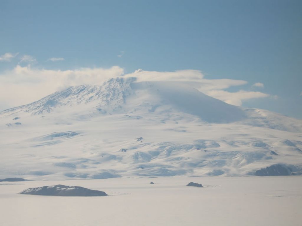
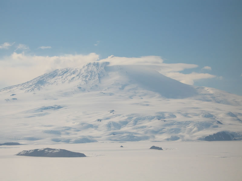
Stunning view on the East Antarctic Ice Sheet
© Martin Siegert
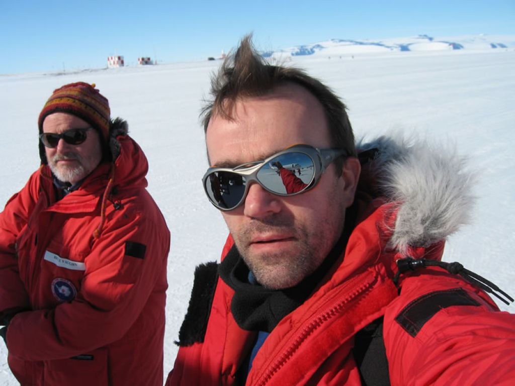
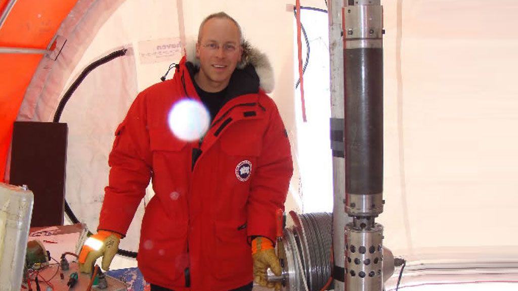
Professor Martin Siegert and colleague in the field in East Antarctica
© Martin Siegert

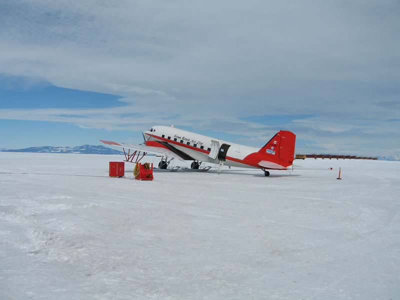
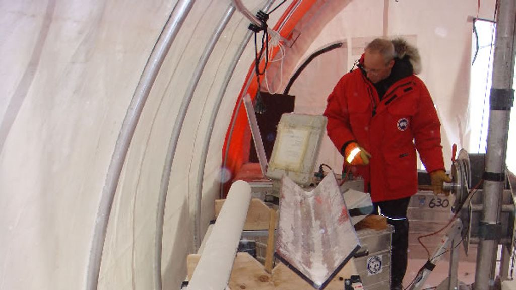
Preparing for another run in the Basler
© Martin Siegert